- PID
- 3124790
Surveying services and Instruments, self-developed products
- Award
-
- Shipping
-
- Payment
-
140+ Global Payments, trusted and secure payment provided by PayVerse.
Learn More
Detailed Description
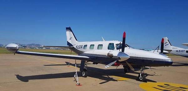
-Aerial photography Surveying
Aerial photography is an advanced technology that contains high-resolution image information, and it produces topographic maps and shows ortho-photo images.
By getting high-resolution images including spatial location information and numerical data with the infinite range of applications. We provide high-quality information on land use and maintenance, including the production of maps of various scales, geology, cadastral, transportation, military use, urban planning, and civil engineering design.
-Geodetic Surveying
As a technology for collecting and accumulating qualitative and quantitative information such as distance, angle, direction, position, elevation, area, volume by determining the geometrical location of the earth's surface and all existing objects, we implement integrated standard points, national level points, and facility surveying.
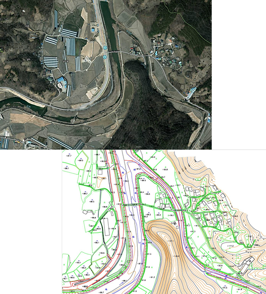
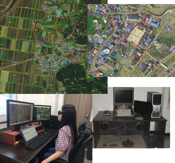
-Stereo Plotting
Converting a photo into a digital map using digital photogrammetry system data is to transform the topography taken in the air into points and lines on the map during the process of producing the topographic map which is necessary to produce maps, In order to produce accurate maps, we use state of the art optical equipment highly and work with skilled personnel.
-Underground Facility Surveying
We perform real-time facility surveying, GIS DB construction, and system DB loading by investigating/exploring and measuring 7 underground facilities such as water, sewage, electric power, gas, heating, communication and oil pipeline.
-Cadastral Surveying
A responsible office implements cadastral state surveying and cadastral boundary restoration surveying that determines the boundary or the area of each land according to the authority or the application of the interested person for the purpose of registering the land in land study or restoring the boundaries registered in the cadastral study on the index indicator.
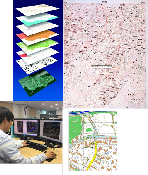
-Spatial Information D/B Construction
Spatial information refers to information that is required for making a decision and spatial recognition which is related to location information of natural or artificial objects existing in space such as the ground, underground, water, and underwater.
We build information system and make it to be used as a wide application field in order to utilize spatial information effectively by converting GIS-geographical information which is necessarily required for human life into computer data.
-Engineering Design Surveying
We cooperate with domestic engineering companies to perform surveying work such as water resources, water supply and drainage, roads, and railways. By using surveying skills which are researched and developed by the company, we are able to work fast rather than existing surveying and make high-quality results.
-Coast Surveying
Precision bathymetric survey
It can be used in various fields such as designing port construction and dredging by measuring depth and topography of the sea floor using acoustic echo sounder and providing various types of three-dimensional image and undersea topography information.
Precision bathymetric survey
This explores the structure of the seafloor strata using geotechnical explorers, grasps the underlying ground suspicions and distribution patterns, and makes the best decisions for dredging construction, port construction, marine structure construction, seabed remediation, Support. In addition, the measured data can be analyzed and processed by various types of information.
-Coastal Investigation Surveying·Hydrographic Surveying
It is possible to utilize in diverse fields such as designing various harbor construction work and dredging and maintaining the route by surveying depth and topography of the sea floor using echo sounder and offering information about a tridimensional image and submarine topography in many fields.
-Oversea Business
Cooperation development spatial information Cloud environment GIS solution -GeoViewer system (Nobel Co., Ltd.), Korea branch (exclusive sale)
Exclusive sale of spatial information, digital photogrammetry system (DELTA), Scanner, Aerial Digital Camera
Aerial shot, digital mapping, construction of spatial information DB, image processing, construction of control point system (horizontal, vertical)
-Digital Photogrammetric Station
Digital Photogrammetric Station «Delta» Provides creation/revision digital maps and orthophotos from raster images. It supports full photogrammetric production started from triangulation/adjustment to final symbolized map/ortho output. Based on the «Digitals» mapping engine with stereo-plotting possibilities. Allows to create nice-looking digital maps and orthophotos from areal or satellite images. Works in stereo mode with stereoscope or OpenGL shutters, works in mono/mono+ mode without an additional hardware. Optionally uses handwheels/footdisk equipment: full DPS «Delta» workstation.
-Chumdan Map
ChumdanMap is composed of C ++ API and various tools to easily and quickly develop various GIS solutions in Web and C / S environments. Also, it consists of a server that serves various GIS data such as various types of map data and satellite images, effective and powerful data processing and rate of change, a web client and a viewer program that can show data in various forms quickly, and software development kit (SDK) that can freely create GIS programs in web or C / S environment. Through communicating with the server (or using local data files), ChumdanMap provides extraordinary functions such as data loading, layer and style management, and rendering.
When people develop applications using the ChumdanMap SDK, it is possible to guarantee the stability and performance of the elementary GIS functions by connecting the functions provided by the SDK to the UI and developing business functions. Moreover, users can be satisfied by shortening the development period and cost.
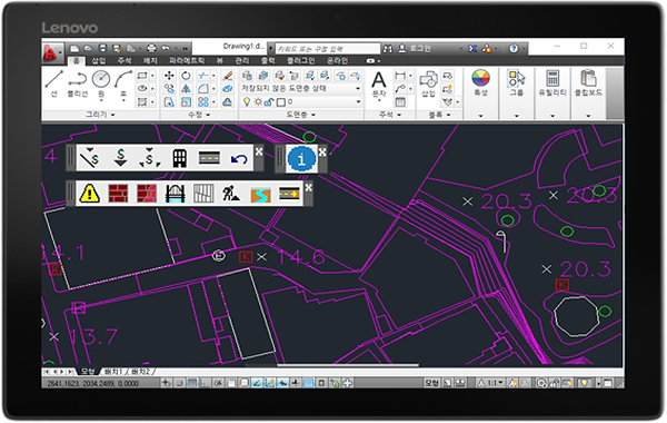
-Electronic Field Book System
Electronic field book system is composed of various tools that can carry out the field investigation quickly and portable regardless of place and environment.
It supports large-scale map work by providing the functions to search, register, modify, and delete various GIS data composed of various file formats (cad, shp, dwg, dxf, and etc.)
Electronic field book system can be run smoothly not only in tablets such as Galaxy Tab and iPad but also in the mobile environment.
